LandLedger: Reinventing land rights in crisis
 © Unsplash
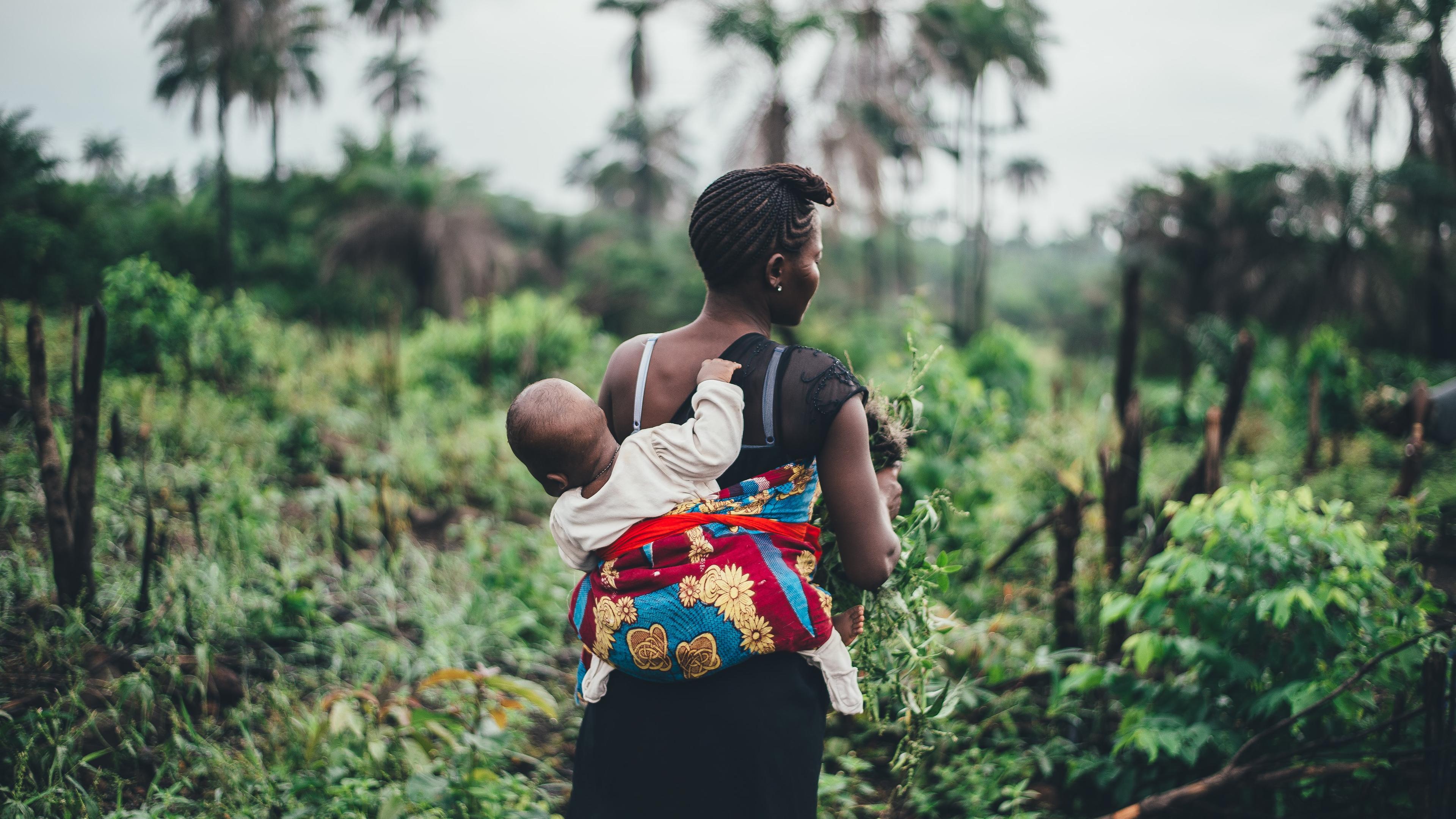
What is the challenge?
The protection of land and property rights is a condition for achieving peace and economic self-reliance. In most countries that receive humanitarian assistance, property registration systems are inadequate to address property disputes and to record land rights in contexts of displacement. Usually a colonial legacy, conventional property registration systems tend to be complex, slow, expensive, and exclude women and marginalised groups, who face barriers to recording and securing their land rights. The conventional processes of land formalisation and dispute resolution in developing countries have long been associated with various challenges and limitations, which perpetuate injustices, barriers to access, inequalities, and scalability issues. In many cases, these problems stem from systemic and structural deficiencies, which are exacerbated when a country or region experiences violent conflict. Conflict also exponentially increases the number of disputes over land and immovable property, overloading the judicial system and government authorities in charge of dispute resolution, land management and property registration.
In most contexts where humanitarian actors operate the local land services are in charge of surveying and mapping land parcels, recording tenure status, making changes in tenure, as well as addressing land disputes. This puts an enormous burden onto these local services, who lack the manpower and material means to do the land surveys, the mapping and process property registration, for both the hosting community and the returning refugees and internally displaced persons. Land surveying using traditional methods - walking along property boundaries with a measuring tape – can take days to complete, and the data collected through manual measurements can rarely be turned into a useful map. The use of handheld GPS is similarly time-consuming and require physically marking the corners of a property to identify its approximate boundaries.
In addition, barriers to access, such as high costs and remote locations, can make it difficult for people to register their land, leading to a lack of formal recognition of their property rights. Safety concerns and scalability bottlenecks are other potential challenges associated with conventional land registration processes.
What is innovative about the project?
The project aims to develop a suitable method for protecting property rights in contexts typical of humanitarian operations, marked by displacement, weak institutions, resource scarcity, and low literacy. The goal is to develop one or more methodologies for identifying and recording land rights, by repurposing and improving on conventional and locally familiar methods and integrating technology.
This project is innovative as it challenges the status quo of land registration systems, typically influenced by a nation's colonial legacy or industrialized nation models, and seeks to reimagine them from the ground up. Rather than just incorporating technology into existing systems, the project seeks to co-design a new method alongside local stakeholders, incorporating elements that are familiar and trusted by the local population, and using technology where it can bring significant value. The innovation here lies in recognizing that in settings marked by conflict and displacement, land registration systems need to be specifically tailored and highly context specific.
The active involvement of specialized private sector partners, rarely done in humanitarian operations, brings a fresh perspective and valuable expertise to the table. The blend of conventional methods, technology, and local context for a fit-for-purpose land tenure recordation system truly sets this project apart.
What are the expected outcomes?
The end goal is a methodology for identifying and recording land rights that optimizes conventional and technological methods for land tenure recordation in post-conflict, low-income contexts.
By securing property rights, the project contributes directly to societal stability and peace-building in post-conflict and post-disaster settings. It can protect vulnerable groups, particularly women, the poor, marginalized populations, and indigenous groups, from exploitation and land grabbing. The project's inclusiveness and non-discrimination components will ensure that all affected individuals have equitable access to property registration, irrespective of gender, socioeconomic status, or displacement status. Streamlined property registration processes can also unlock the economic potential of land. When land rights are secure, property can be used as collateral for loans, spurring entrepreneurship and investment.
Who are the project partners?
This project is led by IOM, who will collaborate with Norwegian Refugee Council, UN Habitat and private sector partners.